Ground sealing is dealt with by threshold first, not by material. As soon as the project area, plus the part of the natural catchment whose flows it intercepts, exceeds one hectare, the discharge of stormwater falls under heading 2.1.5.0 of the schedule to article R. 214-1 of the French environment code: a declaration up to twenty hectares, a full authorisation beyond. Below that, the municipal stormwater zoning takes over, delimited under article L. 2224-10 of the local authorities code, and it can require infiltration on the plot or cap the discharge rate. Behind all of it, article 191 of the law of 22 August 2021 sets the net zero land take trajectory for 2050, which works its way down into the local plans you consult.
The thresholds to check before pricing
The procedure table
The thresholds stack: a sixty-space parking area on a two-hectare project triggers both a development permit and a water-law declaration.
| What you are planning | Threshold | Procedure | Reference |
|---|---|---|---|
| Stormwater discharge, project area plus intercepted catchment | Over 1 ha and under 20 ha | Declaration | Heading 2.1.5.0, art. R. 214-1 environment code |
| Same operation | 20 ha and above | Authorisation | Heading 2.1.5.0, art. R. 214-1 environment code |
| Parking area open to the public | 10 to 49 spaces | Prior declaration | Art. R. 421-23 planning code |
| Parking area open to the public | 50 spaces and above | Development permit | Art. R. 421-19 planning code |
| Any surface inside a delimited stormwater zone | Per the zoning | Municipal requirements, discharge rate, infiltration on the plot | Art. L. 2224-10, 3° and 4° local authorities code |
What the stormwater zoning can impose below the threshold
Point 3° of article L. 2224-10 covers the zones where measures must be taken to limit ground sealing and to control the flow rate and drainage of stormwater and runoff. Point 4° covers those where collection and, where needed, treatment installations must be provided. A municipality can therefore cap a discharge rate on a three-hundred-square-metre project, far below the water-law threshold.
The document to request, and to archive
Ask in writing for the stormwater zoning, the drainage by-law and, where relevant, the agreement to discharge into the network. A verbal answer from the technical department cannot be produced in a dispute. Argile cross-references the public databases at the address and surfaces the zoning and risk constraints of the plot before the pricing goes out.
Qualifying the ground before choosing between sealing and infiltration
What makes the ground's permeability vary
Texture comes first: clay soil transmits water slowly, sandy soil absorbs it fast. Fill material is heterogeneous and often contains a blocking layer. Compaction by machinery closes the pores and is enough to turn acceptable ground into a near-impermeable surface, which happens after the mixer trucks have been through, not before.
The infiltration test: what goes in the file
A rough test is run by digging a pit around thirty centimetres deep, wetting the sides, then timing the drop in level, repeated at two or three points. Record the date, the position of the points, the depth, the initial water height and the time measured. On a sized scheme this rough test is not enough and a ground investigation takes over.
The runoff signs to record on the technical visit
Rills after rain, soil displaced at the foot of a slope, washed-out gravel, puddles lasting beyond twenty-four hours, moisture marks on foundation walls. These observations drive the phasing and the protection of the structures, and they meet the constraints listed for jobs in flood-exposed areas.
Designing the surface: sealed, permeable, or both
Where sealing is justified
Vehicle access, manoeuvring areas, storage bays, accessible ramps: bearing capacity and safety impose it. It is also called for when runoff risks carrying pollutants toward an outlet, or when the plot does not infiltrate. In that case the sealed area is compensated elsewhere, which is the logic behind the trade-off between densifying and taking land.
Where a permeable surface carries the load
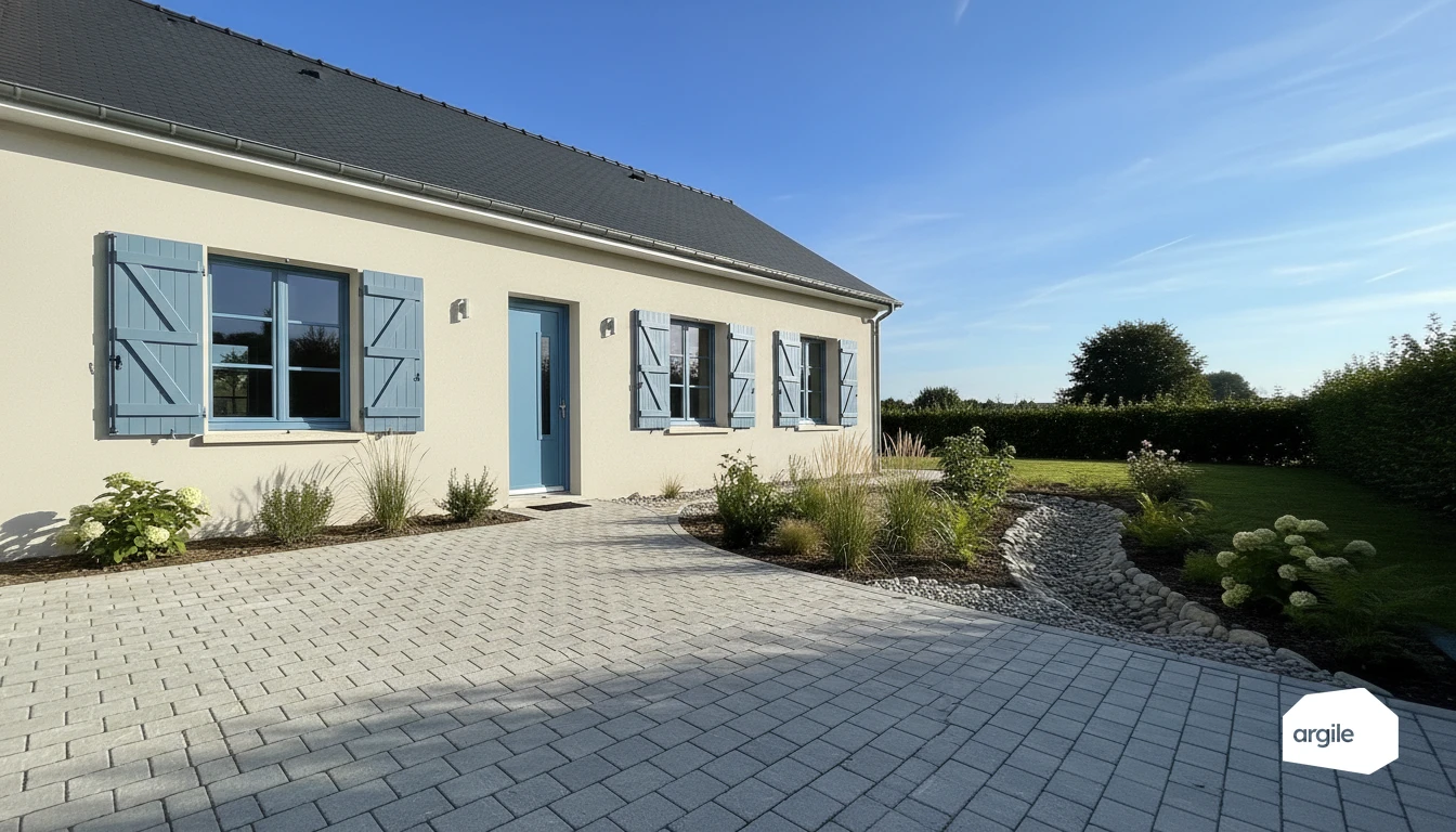
Permeable pavers, stabilised gravel, grass pavers, pedestal-mounted slabs: these hold up provided the base is calibrated for the real traffic and the drainage layer is not clogged by fines. The laying rule is the same everywhere, excavate down to stable ground, sub-base in several passes, geotextile between ground and aggregate, continuous fall of the order of 1 to 2%.
The mixed solution and compensation at plot scale
Sealed strips where vehicles drive, infiltration on the rest, drainage trenches and swales at the foot of the slope. At plot scale, the retention of a green roof is quantified at maximum water capacity and belongs in the same calculation as the ground surfaces.
Securing the works and the file
Overflow, buffer storage and protecting the structures
The peak is handled with buffer storage sized on the permitted discharge rate, and an overflow that sends the excess to an authorised outlet, never right next to the foundations. Protect the low points, thresholds and window wells, and fit a backflow valve where you connect to the network. Perimeter drainage deals with water in contact with the structure, it does not replace surface management.
What triggers callbacks
Clogging and silt, in almost every case. Accessible inspection chambers, a pre-filter, a water test at the end of the job and a maintenance guide handed to the client cover most of it. On trafficked areas, stabilise and protect the works with geotextile to prevent settlement and erosion.
The documents that make the file
An incomplete file comes back at you both at determination and in a dispute.
- Dimensioned site plan and sections, with the sealed areas created and the areas compensated.
- Stormwater zoning, drainage by-law and discharge agreement, obtained in writing.
- Dated infiltration test, technical data sheets, technical approvals and laying specifications.